Distances Darwin to Broome to Perth via
the Kimberley in Australia
Back to Home
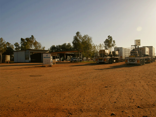
About Tom Price in Western Australia
Tom Price Tom Price is located approximately 1600 km from Perth
and is situated on the edge of the Hamersley Ranges, within
the Shire of Ashburton. It is the highest town in Western Australia
at 747m above sea level, hence the name "Top Town". The Census
usual resident population of Tom Price in 2021 was 2,910, living
in 1,545 dwellings. At 747 metres, Tom Price is the highest
town in Western Australia! Named after Thomas Moore Price, the
vice-president of the giant United States steel company Kaiser
Steel, Price was one of the main supporters of the Pilbara region
in the early 1960s. The most prominent feature of Tom Price
is the peak known as Mt Nameless (1,128 metres) or Jurndamurneh
to the local Aboriginal people, meaning ‘wallabies live near
here’. Its summit is accessed along a four-wheel drive track,
and it is also possible to hike to the summit for amazing views
of the local landscapes. Discover the natural wonders of nearby
Karijini National Park. Take a tour of the Pilbara Iron Ore
Mine. Or pack a picnic and head out to Kings Lake - a popular
recreational area located in a natural bush setting with barbeques
and gazebos. Visit King’s Lake for a barbeque or picnic or check
out the massive Rio Tinto Iron Ore Mine on an organised tour.
The town offers a caravan park and hotel/motel as accommodation
options.
©
source | courtesy of www.ashburton.wa.gov.au/
©
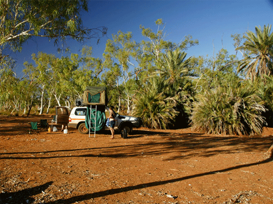
Photo's Tom Price Region supplied with desciption by friends

©
Photo's Tom Price Region supplied with desciption by friends
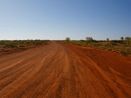
Weather in the area can be extreme, ranging from
0 degrees on a winter's night to 45 degrees on a summer's day.
During the summer, hot clear days are experienced, with an average
temperature of approximately 35 degrees.
Winter months prove to be very pleasant with daytime temperatures
varying from the low to mid 20s. The majority of rainfall is
experienced during the summer months (Wet season) and is dependent
upon the cyclone activity off the coast. On average, Tom Price
receives approximately 330 mm of rainfall each year.
©
source | courtesy of www.ashburton.wa.gov.au/
©
Photo's Tom Price Region supplied with desciption by friends
©
Photo's Tom Price Region supplied with desciption by friends
About Karratha in Western Australia
Karratha is a town adjoining the port of Dampier in the Pilbara
region of Western Australia which was developed from the 1960s
to accommodate the processing and exportation workforce of the
Hamersley Iron mining company and, in the 1980s, the petroleum
and liquefied natural gas operations of the North West Shelf
Venture. At the 2011 census, Karratha had a population of 16,475.
The town's name comes from the cattle station from which land
was reclaimed for the development. Karratha in the local Aboriginal
language means 'good country' or 'soft earth'. The town is the
seat of government of the Shire of Roebourne.
About Onslow in Western Australia
Onslow is a coastal town in the Pilbara region of Western Australia,
1,386 kilometres (861 mi) north of Perth. It has a population
of 667 people and is in the Shire of Ashburton local government
area. Onslow was gazetted on 3 November 1885 as a town to serve
the port at Ashburton Roads, at the mouth of the Ashburton River,
exporting wool from sheep stations of the Pilbara hinterland.
bout Newman in Western Australia
Newman is a town in the Pilbara region of Western Australia.
It is located about 1,186 kilometres (737 mi) north of Perth,
and 9 kilometres (5.6 mi) north of the Tropic of Capricorn.
It can be reached by the Great Northern Highway. In the 2006
Australian census, its population was 4,245. Newman is a modern
mining town, with suburban-style homes contrasting with the
surrounding reddish desert.
The Hickman Crater is 35 kilometres (22 mi) north of Newman.
About Paraburdoo in Western Australia
Paraburdoo is a town in the Pilbara region of Western Australia.
The name of the town comes from the Aboriginal word for 'white
cockatoo'. It is located 1,536 kilometres north of Perth and
79 kilometres southwest of Tom Price. Paraburdoo was developed
in the early 1970s to support Hamersley Iron's (now Pilbara
Iron) local iron ore mining operations, and gazetted as a town
in 1972. Most of the town's residents are employed by Pilbara
Iron's mining operation and the supporting services. The region
is served by Paraburdoo Airport, which is situated 9 km from
the town. The town provides housing to workers of the three
near-by Rio Tinto mines, those being the Channar, Eastern Range
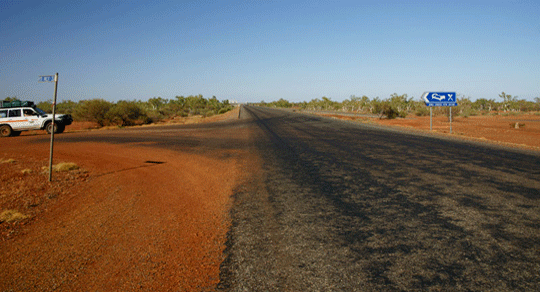
and Paraburdoo mine. Highway just outside the town of Paraburdoo
showing the high iron oxide concentrations in the soil Paraburdoo
from the air.
About Exmouth in Western Australia
Exmouth is a town on the tip of the North West Cape in Western
Australia. The town is located 1,270 kilometres (789 mi) north
of the state capital Perth and 3,366 kilometres (2,092 mi) southwest
of Darwin. The town was established in 1967 to support the nearby
United States Naval Communication Station Harold E. Holt. Beginning
in the late 1970s, the town began hosting U.S. Air Force personnel
assigned to Learmonth Solar Observatory, a defence science facility
jointly operated with Australia's Ionospheric Prediction Service.
©
source | courtesy of wikipedia.org
About Newman in Western Australia
Newman is a town in the Pilbara region of Western Australia.
It is located about 1,186 kilometres (737 mi) north of Perth,
and 9 kilometres (5.6 mi) north of the Tropic of Capricorn.
It can be reached by the Great Northern Highway. In the 2006
Australian census, its population was 4,245. Newman is a modern
mining town, with suburban-style homes contrasting with the
surrounding reddish desert.
The Hickman Crater is 35 kilometres (22 mi) north of Newman.
About Paraburdoo in Western Australia
Paraburdoo is a town in the Pilbara region of Western Australia.
The name of the town comes from the Aboriginal word for 'white
cockatoo'. It is located 1,536 kilometres north of Perth and
79 kilometres southwest of Tom Price. Paraburdoo was developed
in the early 1970s to support Hamersley Iron's (now Pilbara
Iron) local iron ore mining operations, and gazetted as a town
in 1972. Most of the town's residents are employed by Pilbara
Iron's mining operation and the supporting services. The region
is served by Paraburdoo Airport, which is situated 9 km from
the town. The town provides housing to workers of the three
near-by Rio Tinto mines, those being the Channar, Eastern Range
and Paraburdoo mine. Highway just outside the town of Paraburdoo
showing the high iron oxide concentrations in the soil Paraburdoo
from the air.
About Exmouth in Western Australia
Exmouth is a town on the tip of the North West Cape in Western
Australia. The town is located 1,270 kilometres (789 mi) north
of the state capital Perth and 3,366 kilometres (2,092 mi) southwest
of Darwin. The town was established in 1967 to support the nearby
United States Naval Communication Station Harold E. Holt. Beginning
in the late 1970s, the town began hosting U.S. Air Force personnel
assigned to Learmonth Solar Observatory, a defence science facility
jointly operated with Australia's Ionospheric Prediction Service.
©
source | courtesy of wikipedia.org
©
source | courtesy of Outback Travellers maps of the Pilbara
About Exmouth in Western Australia
Exmouth is a town on the tip of the North West Cape in Western
Australia. The town is located 1,270 kilometres (789 mi) north
of the state capital Perth and 3,366 kilometres (2,092 mi) southwest
of Darwin. The town was established in 1967 to support the nearby
United States Naval Communication Station Harold E. Holt. Beginning
in the late 1970s, the town began hosting U.S. Air Force personnel
assigned to Learmonth Solar Observatory, a defence science facility
jointly operated with Australia's Ionospheric Prediction Service.
More on Exmouth in Western Australia
If you are travelling north to Exmouth along the North West
Coastal Highway, travel 152 km north of Carnarvon and turn left
at the Minilya Exmouth Road. From here it is 200 km to Exmouth
townsite. If you are travelling south to Exmouth turn off the
North West Coastal Highway 110km south of the Nanutarra Roadhouse
onto Burkett Road. From here it’s 80 km to the Minilya Exmouth
Road. At this junction, turn right to Exmouth (89 km).
Ningaloo Reef
Ningaloo Marine Park protects one of Australia’s most important
tracts of reef - the Ningaloo Reef. It is one of the longest
fringing reefs in the world and only one of two coral reefs
in the world that have formed on the western side of a continent.
The Ningaloo Marine park stretches from Bundegi Beach near Exmouth
for 260 km along the West Coast to Amherst Point south of Coral
Bay. The Ningaloo reef protects a lagoon that is on average
only 2-4 m deep and is rich in marine life. It is unique because
of this and its close proximity to the coast - in many areas
it is only 5-10 m offshore allowing for easy access from the
coast. Some 250 species of coral and 500 species of fish have
been recorded in the Ningaloo Marine park. There are limitless
snorkel sites along the Ningaloo coastline and a variety of
ways to access them. You can experience the Ningaloo Reef from
a dive boat, catamaran, coral viewing boat, sea kayak, from
the air on a scenic flight, or by snorkelling from the beach.
Ningaloo reef is not only a spectacular wonder of nature but
also forms an important habitat for many amazing creatures.
The Ningaloo Reef is one of only two areas in the world where
Whalesharks regularly congregate in numbers that facilitate
tours and human interaction. The Ningaloo Marine park is made
up of approximately 224 ooo hectares of State Government controlled
waters and about 700km 2 of Commonwealth waters.
©
source | courtesy of www.exmouthwa.com.au/
-
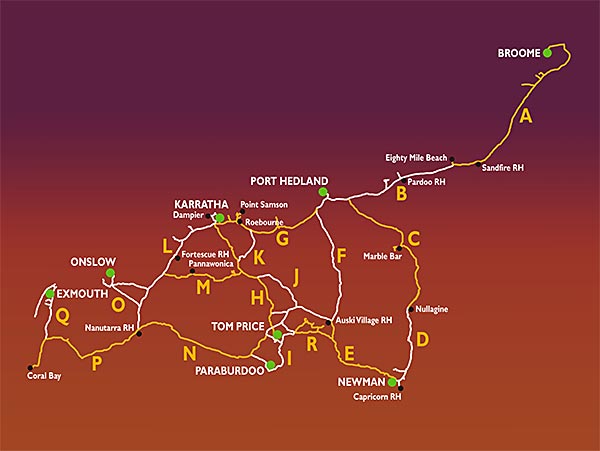
4wd Wagon hire -
 4wd camper family of 5
4wd camper hire for a family of May till October Broome and Darwin
Darwin 4wd camper
-
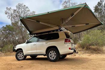
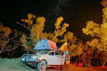
 4wd Adventure Camper
Sleep inside more room better kitted out Adventure camper rental
4wd camper Darwin